
Coop's Corner: First Taste of Fall Arrives, Eyes on the #WayOut

Welcome to our first weekly Sunday outlook as we head into the fall season! Each week, we'll break down what's happening right now and keep an eye on how the winter is shaping up. Let's get into it.
The Week Ahead: A Shift in the Pattern
After a warm stretch, a change is definitely in the air for the Tahoe Basin and the Sierra. The NWS Reno office highlighted it this morning: a strong low-pressure system is making its move from the Pacific, and it's set to usher in some proper fall-like weather this week.
Here's the breakdown:
Breezy Conditions: Get ready for some wind. We'll see breezy afternoons through the middle of the week, but Monday looks to be the main event. Expect southwest to west gusts of 30-40 mph in the afternoon, with some wind-prone areas potentially seeing gusts up to 50 mph. This will definitely have an impact on recreation, especially on the lakes, and could kick up any holdover fires.
Cool Down is Coming: The cooling trend is on. After Monday, our daytime highs will struggle to get out of the 60ºs and 70ºs. By midweek, we're looking at freezing overnight lows in the Sierra. It's time to start thinking about those warmer jackets.
Moisture Returns: Best of all, we have some real chances for showers and thunderstorms returning to the forecast. The best chances look to be Wednesday and Thursday, with widespread odds of 30-60%. And here's the part we love to see: the forecasters are mentioning it could be cold enough for snow flurries on the highest Sierra peaks (>9,000’) both days! While it won't be much, seeing the first flakes of the season is always a welcome sight. Things look to dry out a bit heading into next weekend, but temperatures will remain below average.

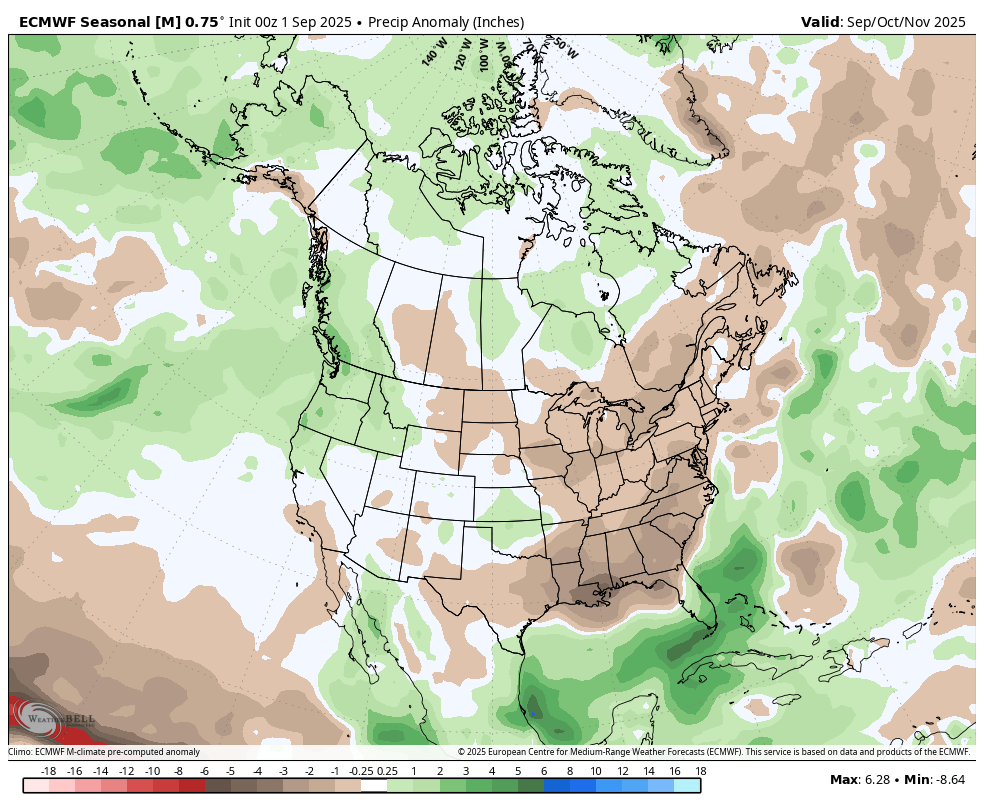
The Long Range Outlook: What's the Winter Signal?
Alright, now let's zoom-out. Looking past this welcome taste of autumn, what are the models hinting at for the season ahead?
As we discussed last time, all eyes are on the tropical Pacific and the development of a weak La Niña. This is the primary driver we're watching, and it tends to favor a storm track to our north.
30-Day Outlook: Beyond this week's unsettled weather, the signal for the next 30 days is for a return to a drier pattern with near to slightly below-average precipitation.
60-Day Outlook: Pushing into early November, that drier-than-average signal holds. This doesn't mean we won't see any storms, but the odds for a big, wet start to the season are tilted against us for now.
The #WayOut (90-Day Outlook): Looking into the heart of early winter through the beginning of December, the pattern continues to favor the storm track staying just a bit too far north. This suggests we could have a slower-than-average start to the snowpack-building season.
The Bottom Line:
Enjoy the fall-like system this week—it's a great preview of the season to come. But as we look at the bigger picture, the early signal for winter is still leaning towards the drier side of things. Of course, a lot can change between now and then. We'll be here every Sunday to break down the latest model runs and data.
Stay tuned, and Thirsty for POW as we tighten up this forecast next week!
Coop
#SoOthersMayLive | Semper Paratus